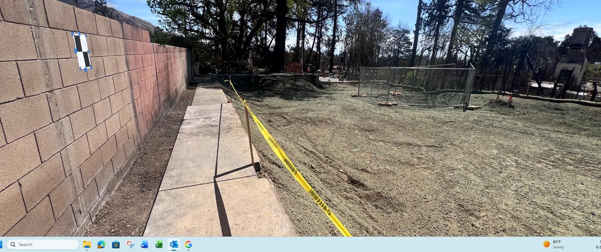
Fence Location Map
Property owners often assume the existing fence is located exactly on the boundary line. In reality, fences are frequently constructed inside or outside the true boundary or ownership lines. Before building new improvements or replacing an existing fence, it is essential to know where the legal property line actually is.
A fence location map is typically performed in conjunction with a boundary survey. CA5 measures the existing fence and compares its location to the surveyed property lines, and can also show recorded easements or rights-of-way that may affect where a fence can legally be placed.
This information helps prevent potential problems by placing improvements and fences in the proper location.