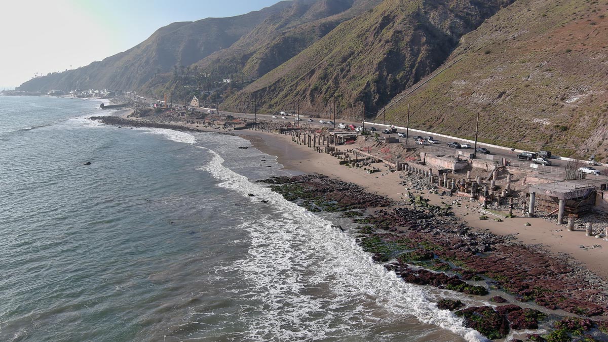
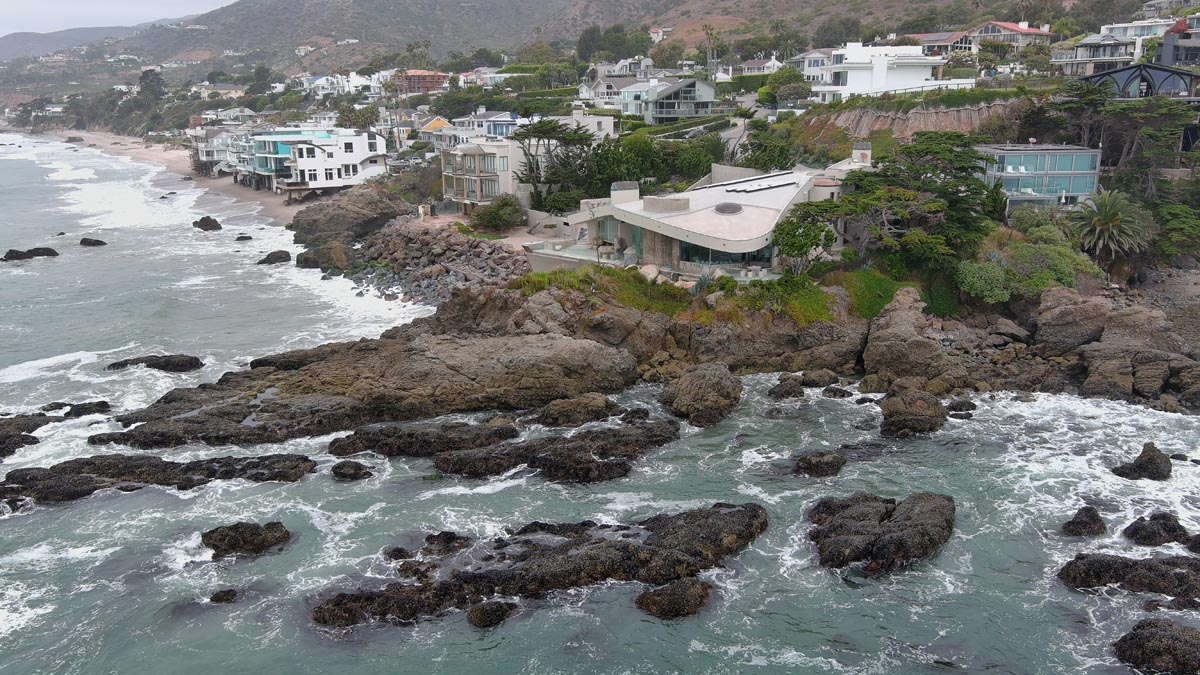
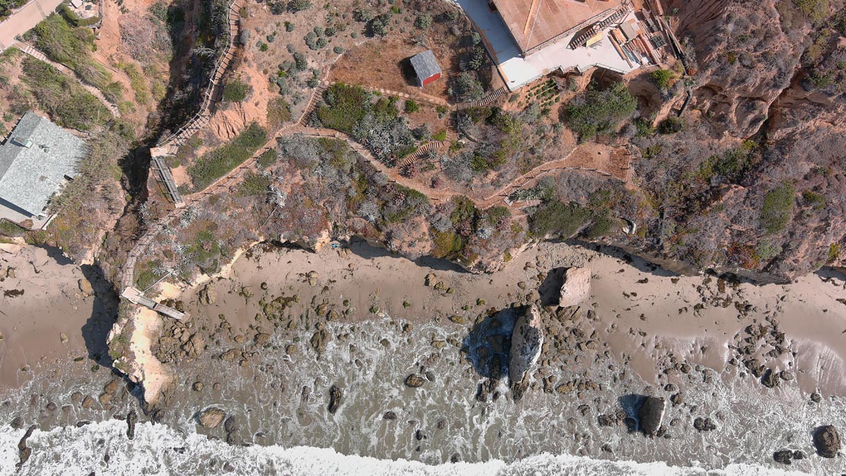
Coastal / Shoreline Mapping
CA5 performs coastal and shoreline mapping to analyze beach profiles, erosion patterns, dune movement, bluff retreat, and other dynamic coastal conditions. These maps are critical for planning, coastal engineering, resource management, environmental science, and documenting historical change over time.
Our field methodology may include UAS drone flights, 3D laser scanning, GPS measurements, photogrammetry, and conventional survey techniques. By integrating data from multiple technologies, CA5 can accurately model coastal features, determine mean high tide line, delineate flood hazard zones, and support the permitting, entitlement, or development of waterfront properties.
CA5 understands the requirements of the California State Lands Commission, Coastal Act matters, and related state and local regulations. We assist coastal property owners, design teams, and counsel in evaluating and documenting shoreline conditions so that decisions are based on accurate, defensible spatial information.