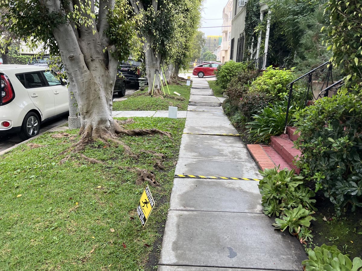
Accident/Incident Exhibit Maps
CA5 provides mapping services for accident and incident locations. These surveys document the physical environment and show the relationship between the point of occurrence, surrounding features, property lines, and site conditions. Our maps incorporate field measurements, monumentation, and observable improvements to accurately depict the existing site conditions at issue.
These exhibit maps are commonly requested by attorneys, insurance carriers, claims professionals, and expert consultants to illustrate existing conditions as part of case evaluation, mediation, arbitration, or trial preparation.
In addition to mapping, CA5 can provide Professional Land Surveyor expert witness services to assist counsel in understanding existing site conditions, incident location, boundary location, improvement location, encroachment, grade, slope and other land-based technical issues relevant to dispute resolution and litigation.