Aerial Mapping & Drone Surveys
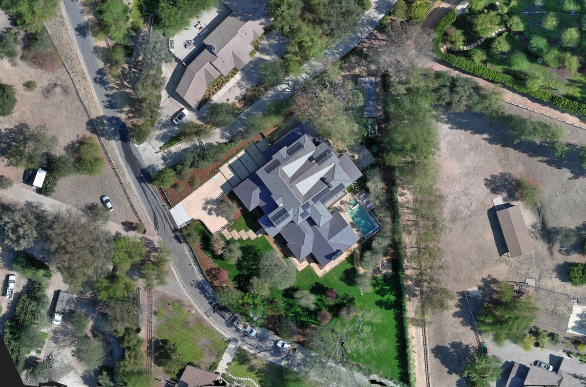
CA5 delivers aerial mapping and remote sensing using UAS drones, aircraft, and other high-resolution imaging technologies. These methods capture large areas from above and allow us to create detailed orthomosaic imagery and 3D surface models that can be used for mapping, planning, analysis, and design.
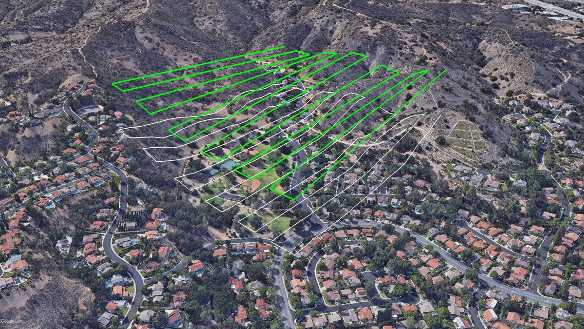
CA5 uses professional-grade UAS drones equipped with advanced sensors, including high-resolution optical cameras. For large areas, we utilize fixed-wing platforms or coordinate manned aircraft to obtain the necessary coverage and ground sampling resolution used to create accurate mapping.
Aerial mapping technologies allow us to see and document existing improvements that are visible from the sky — such as buildings, roads, fences, utilities, grading features, and other significant man-made or natural site conditions — which may not be easily identified at ground level. This comprehensive overhead perspective increases accuracy, reduces field time, and gives clients critical information needed for informed design and decision-making.