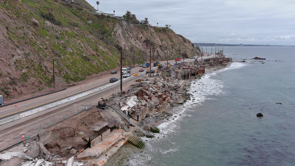
Fire Rebuild Survey
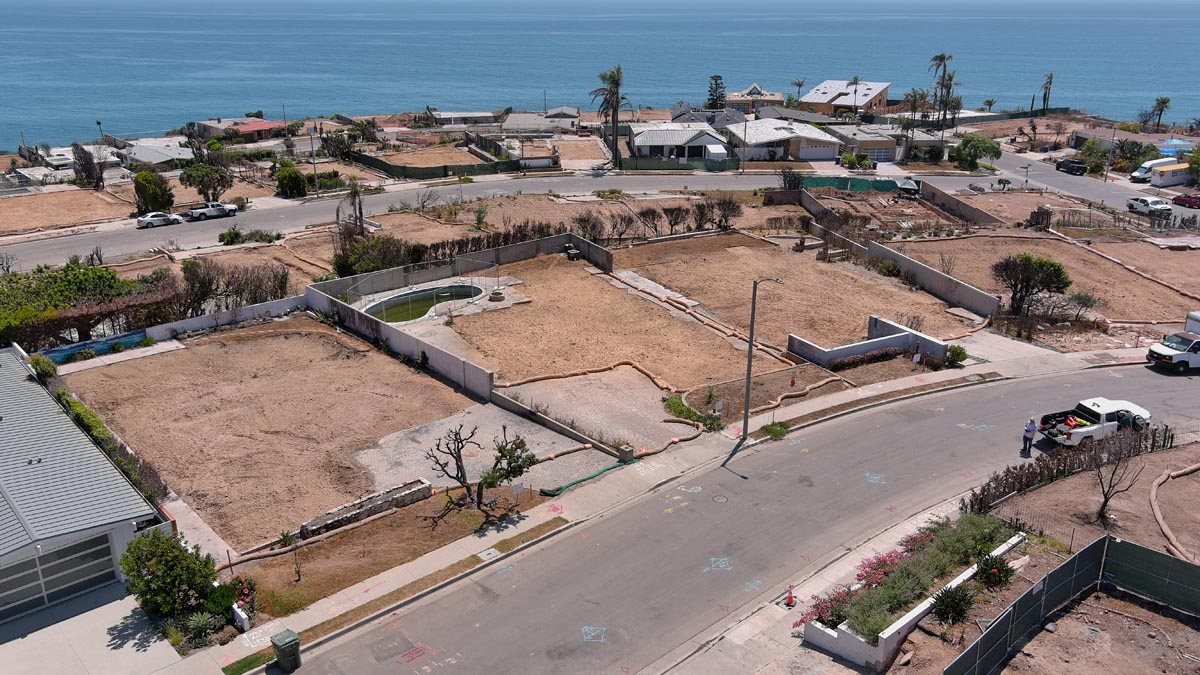
Following a fire event, one of the first steps in the rebuild process is establishing a current, accurate survey base map. Accurate field measurement and mapping of existing site conditions allows the entire design team to begin work with confidence and ensures the rebuild is compliant with current standards and agency requirements.
CA5 prepares a detailed topographic / property boundary base map showing existing terrain, access, utilities, structures, walls, and all relevant recorded easements or constraints. This becomes the foundation dataset for the architect and design team to begin planning, modeling new structures, applying setbacks, and preparing submittals.
Our goal is to support the rebuilding community by providing the precise surveying information needed to move forward — so the design team can begin planning, permitting, and rebuilding responsibly and efficiently. Accurate survey data up front reduces delays, eliminates guesswork, and gives owners, architects, and engineers a reliable starting point to bring their homes and properties back to life.
Together, we can rebuild with precision, clarity, and purpose.